GeoCAM: A geovisual analytics workspace to contextualize and interpret statements about movement
Keywords:
geovisual analytics, text analysis, text-to-sketch, geographic information retrieval, spatial cognition, machine learning, movement, geospatial databasesAbstract
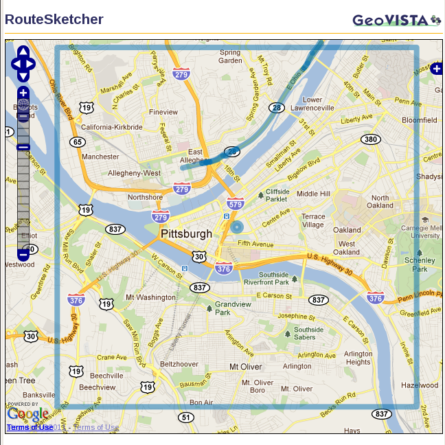
This article focuses on integrating computational and visual methods in a system that supports analysts to identify, extract, map, and relate linguistic accounts of movement. We address two objectives: (1) build the conceptual, theoretical, and empirical framework needed to represent and interpret human-generated directions; and (2) design and implement a geovisual analytics workspace for direction document analysis. We have built a set of geo-enabled, computational methods to identify documents containing movement statements, and a visual analytics environment that uses natural language processing methods iteratively with geographic database support to extract, interpret, and map geographic movement references in context. Additionally, analysts can provide feedback to improve computational results. To demonstrate the value of this integrative approach, we have realized a proof-of-concept implementation focusing on identifying and processing documents that contain human-generated route directions. Using our visual analytic interface, an analyst can explore the results, provide feedback to improve those results, pose queries against a database of route directions, and interactively represent the route on a map.
Downloads
Published
Issue
Section
License
Copyright (c) 2011 Anuj Jaiswal, Scott Pezanowski, Prasenjit Mitra, Xiao Zhang, Sen Xu, Ian Turton, Alexander Klippel, Alan M. MacEachren

This work is licensed under a Creative Commons Attribution 4.0 International License.
Articles in JOSIS are licensed under a Creative Commons Attribution 3.0 License.
